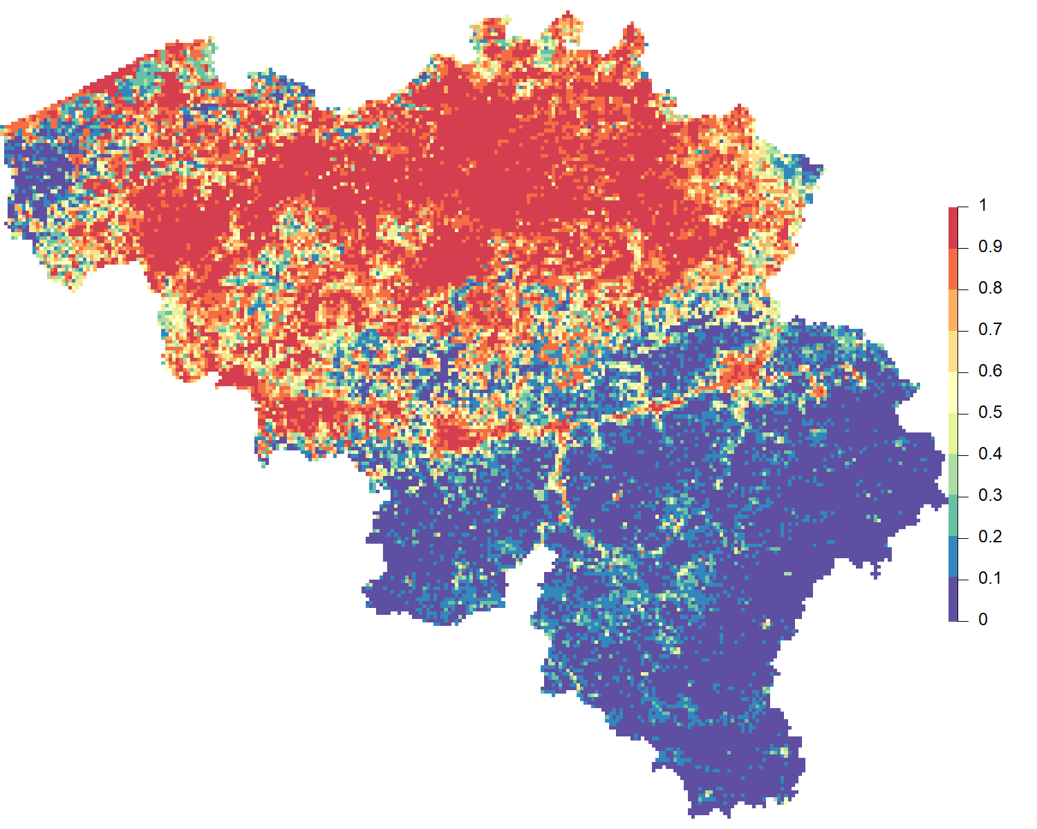
Risk map for presence of Cyperus eragrostis in Belgium generated by the TrIAS modeling workflow. The map is scaled from 0-1, with 0 indicating the lowest risk and 1 indicating the highest risk.
|
|
||
|
Risk map for presence of Cyperus eragrostis in Belgium generated by the TrIAS modeling workflow. The map is scaled from 0-1, with 0 indicating the lowest risk and 1 indicating the highest risk. |
||
| Part of: Davis AJ.S, Adriaens T, De Troch R, Desmet P, Groom Q, Oldoni D, Reyserhove L, Vanderhoeven S, Strubbe D (2020) Using Global Biodiversity Information Facility Occurrence Data for Automated Invasive Alien Species Risk Mapping . Biodiversity Information Science and Standards 4: e59172. https://doi.org/10.3897/biss.4.59172 |