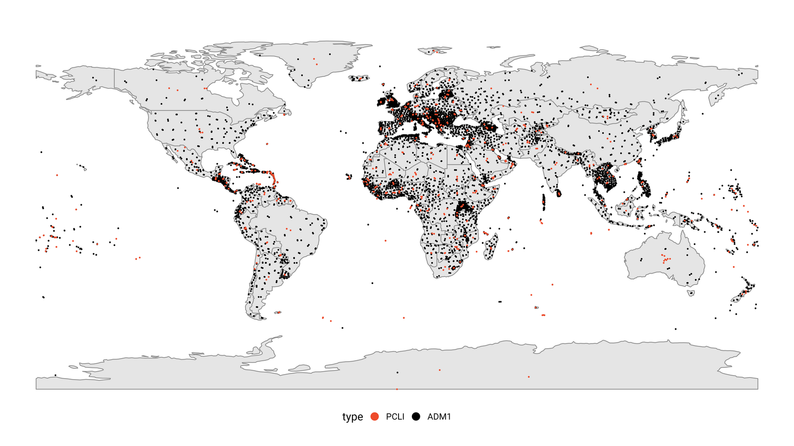
This figure presents a map displaying the centroid coordinates of various countries, areas, or provinces. The centroids serve as reference locations for occurrence data filtering. PCLI means places with an iso-code. ADM1 means roughly provinces, states, gadm1.